
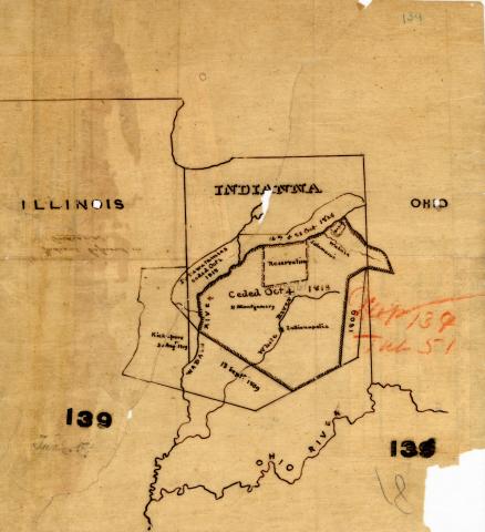
Map of the States of Indiana and Ohio, with Parts of Michigan Territory, 1831

Summary:
Digital copy of map in the collections of the US National Archives.Description:
Map of the states of Indiana and Ohio, with parts of Michigan Territory. Includes Indian lands such as the Potawatomi and Kickapoo lands, and includes a plan of Cincinnati.
Engraved & Printed by Fenner Sears & Co. Digital files provided by the National Air Survey Center Corporation.
Related Content:
Digital Heritage
Community
Myaamia Heritage Museum and ArchiveCategory
Land & PlaceSummary
Digital copy of a map held in the collections of the US National Archives.